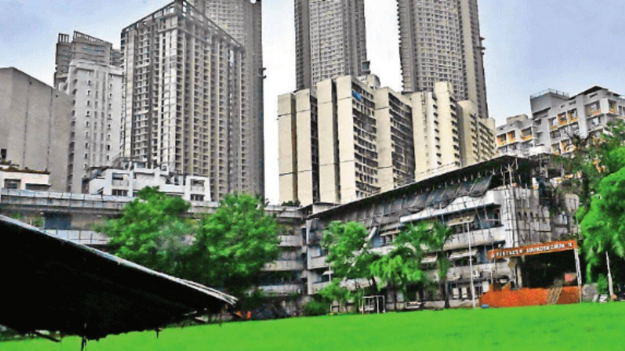
While satellite images paint Mumbai as a green city, the reality on the ground is stark: public open space ranges from 9.4 sq m per resident in A Ward to just 0.5 sq m in B Ward, exposing sharp disparities in access to parks across the city’s 24 administrative wards.
To put this in perspective, residents of A Ward have nearly a parking space’s worth of public open space each, while those in B Ward have barely enough room to stand.
The finding is in the report Public Open Space Mapping and Management Strategy for Mumbai by the Urban Design Research Institute (UDRI) and NAGAR (NGO Alliance for Governance and Renewal).
Why your ward determines access to open space.
Per capita public open space was calculated using the combined area of Existing Open Spaces (EOS) and Reserved Open Spaces (ROS) in DP 2034 against each ward’s 2011 Census population. The report found Mumbai currently has just 1.28 sq m of existing open space per person, far below the DP 2034 target of 4 sq m.
The report distinguishes between EOS and ROS earmarked under the Development Plan, noting that even EOS figures do not necessarily reflect actual public access.
The study found several existing open spaces remain partly or wholly inaccessible due to encroachments, restrictions, private ownership or limited public access, meaning usable recreational space may be lower than official figures suggest.
For instance, a private club in Andheri is marked as a public recreational space despite restricted access, while a school playground in Malad is shown as a public playground even though the public cannot use it.
Anuradha Parmar, executive director, UDRI, says, “While acquiring new reserved open spaces remains a challenge, there is no justification for leaving existing ones unusable.
The fastest way to increase the city’s usable open space is to urgently channel BMC funds, much of which go unspent each year, towards developing already acquired but neglected open spaces. Equally important is ensuring that every Existing Open Space (EOS) has access through a road formally demarcated in the DP, protecting these spaces from private encroachment.”
The report says the island city averages 2.94 sq m of public open space per person, though disparities remain. In the suburbs, the average drops to 1.05 sq m. M East (Govandi), L (Kurla) and H East (Kalina) wards have the poorest access, with 0.6 sq m, 0.6 sq m and 0.7 sq m per capita, respectively. According to the report, these wards face multiple constraints, including high slum density.
Nayana Kathpalia, trustee, UDRI and NAGAR, said while every ward has its own challenges and historical legacy, redevelopment in some of Mumbai’s densest neighbourhoods offers a rare opportunity to rethink public spaces and shared amenities. “We need to stop viewing redevelopment as merely a real estate exercise and start treating it as a once-in-a-generation chance to create more open spaces,” she said.
Parul Kumtha, also a trustee fromNAGAR, said Mumbai has another major opportunity with the creation of large new public open spaces. “Connecting underserved neighbourhoods to large city-wide assets like the Coastal Road gardens and Mahalaxmi Racecourse is key to expanding equitable access to green spaces.”
Reacting to the report, Sunil Rathod, chief engineer of the DP department, said the 4 sq m per capitatarget will be achieved gradually as reserved open spaces are acquired and developed. “Since outright land purchase is not financially feasible, the BMC relies on planning tools under the DCPR, including TDR and redevelopment, while acquiring land where there is a clear public need.”